
生態地理訊息系統
GIS TECHNOLOGY IN ECOLOGY
KS1
KS2
KS3
KS4
S
T
R
E
A
M
-
該活動旨在幫助學員熟悉地質資訊系統(GIS)的概念和在生態領域的應用。
The learning objectives are to get participants familiar with the concept and application of Geological Information System (GIS) in the ecology field.
目標 Learning Objectives
成果 Learning Outcomes
-
學生將學習使用 GIS 技術收集、分析和解釋生態資料。他們還將了解 GIS 技術在生態研究中的一些實際應用。
Students will learn to collect, analyze, and interpret ecological data using GIS technology. They will also learn about some real-life applications of GIS technologies in ecological studies.
-
講師將通過一場小型講座介紹 GIS 的基本概念、如何使用GIS軟件、如何應用軟件繪製圖表等。
The lecturer will introduce the basic concepts of GIS, how to use GIS software, how to apply software to draw charts, etc. through a small lecture.
-
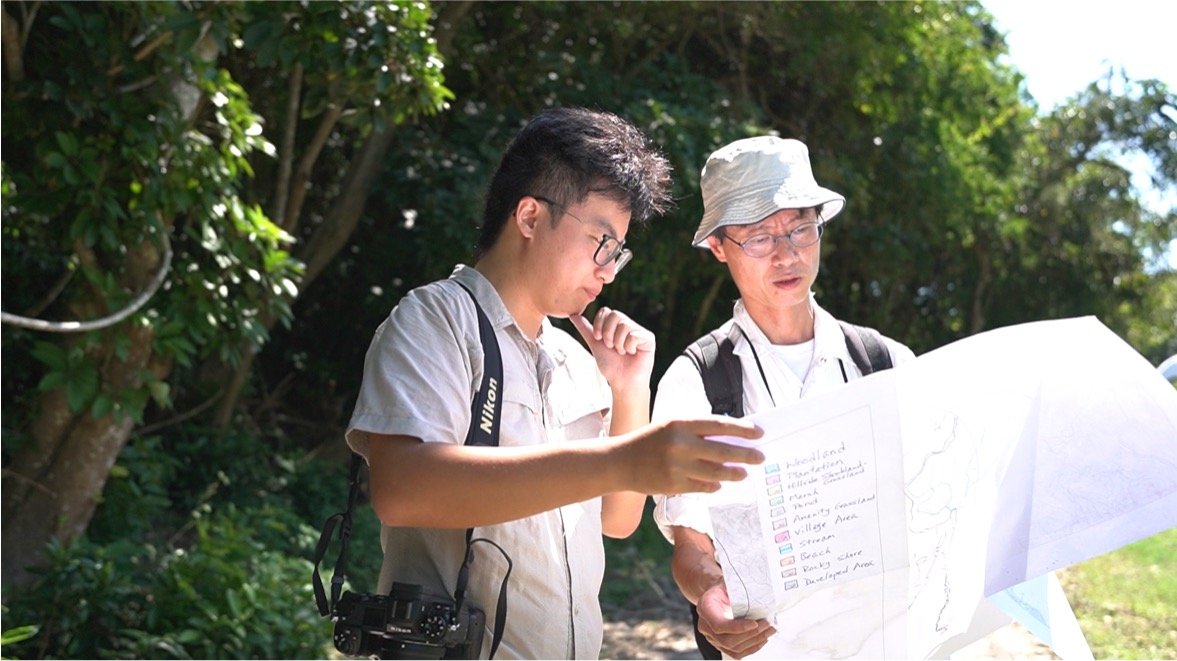
學生將攜帶GIS軟件參觀西貢東郊野公園,了解生態公園的設計倫理,探索設計生態公園的其他注意事項。
Students will bring GIS software to visit Sai Kung East Country Park, understand the design ethics of ecological parks, and explore other considerations for designing ecological parks.
課程內容 Learning Activities


研究問題 Key Questions:
如何使用 GIS 來識別或總結生態數據?
How can GIS be used to identify patterns in ecological data?
您能否利用 GIS 地圖為當地瀕臨滅絕的物種提出保育策略?
Can you propose a conservation strategy for a local endangered species using GIS mapping?
在使用GIS應用程式時遇到了哪些挑戰?
?What challenges have you encountered when using the GIS app?
與傳統方法相比,生態研究中使用 GIS 有哪些好處?
What are the benefits of using GIS in ecological studies compared to traditional methods?